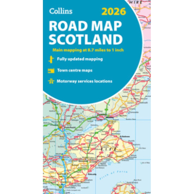
Explore Scotland with easy-to-read mapping from Collins.Full-colour map of Scotland at 8.7 miles to 1 inch, with clear road network and administrative areas shown in colour. The map covers the whole of Scotland and part of Northern England conveniently on
![]()
Explore Scotland with easy-to-read mapping from Collins.
Full-colour map of Scotland at 8.7 miles to 1 inch, with clear road network and administrative areas shown in colour. The map covers the whole of Scotland and part of Northern England conveniently on one side, and is ideal for reference or route planning.
The map shows the road network in detail for easy route planning and has easily identifiable local council areas and boundaries.
The main features of this road map are:
![Cat Shining Bright [Large Print]](https://www.booksagastore.com/wp-content/uploads/2025/10/1760932303/cat-shining-bright-large-print-1760932308.webp)

![Life Vida (Spanish Edition) [Spanish]](https://www.booksagastore.com/wp-content/uploads/2025/10/1760932303/life-vida-spanish-edition-spanish-1760932308.webp)
Reviews
There are no reviews yet.